Cloud-based drone mapping platform DroneDeploy Inc. has unveiled advanced features integrating artificial intelligence (AI) and robotics to enhance its services in mapping and data analysis. The announcement was made during the Horizons 2025 user conference, where the company introduced innovative AI agents designed for safety inspection and increased automation across various industries.
With applications in agriculture, construction, mining, inspection, and surveying—across over 3 million sites globally—DroneDeploy’s intelligent cloud software offers real-time mapping, safety checks, and streamlined workflows. Co-founder and CEO Mike Winn emphasized the immediacy of these advancements, stating that today’s construction and industrial operations are leveraging AI-driven improvements to enhance their existing workflows and prepare for the future of autonomous robotics.
Key features of the new rollout include Progress AI, which utilizes vision-language models to monitor over 50 projects, accelerating progress report generation significantly. According to Scott Brown, construction technology manager at Garney Construction, this solution alleviates data bottlenecks, resulting in enhanced accuracy and efficiency.
Additionally, the newly introduced Inspection AI is tailored for predictive maintenance across various sectors, including oil, gas, and renewable energy. Utilizing AI agents, it automates the review of visual data, providing asset management teams with severity rankings and actionable insights. James Stripe, chief product officer at DroneDeploy, remarked that these AI agents are designed not just for data processing but for reasoning.
Moreover, DroneDeploy’s Safety AI platform has received significant upgrades, including a new floor plan interface and enhanced verification processes for identifying and addressing safety risks.
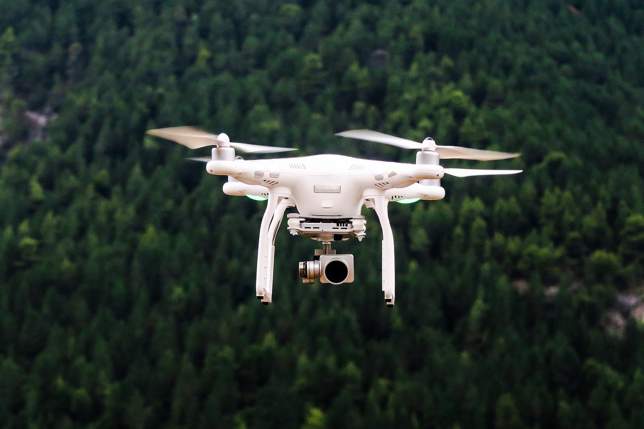
The company has also made substantial enhancements to both aerial and ground robotics capabilities. The performance of aerial drones now delivers processing quality up to three times better, with results produced 25% faster. New functionalities include automatic ground control point tagging, ensuring compliance with survey-grade accuracy.
For ground operations, users can transition from 2D to 3D documentation with rapid mobile 3D scanning capabilities. Advanced visualization tools enable comprehensive data analysis and comparison with computer-aided design files, facilitating more accurate inspection outcomes.
With a vision for the future, DroneDeploy outlined its 2026 roadmap, which includes plans to simplify the deployment of autonomous systems that require minimal human intervention. As technology evolves, its aim is to empower businesses to utilize robots that autonomously gather data, revolutionizing how industries manage site operations.
By leveraging these cutting-edge AI and robotics features, DroneDeploy positions itself at the forefront of the ongoing advancements in drone technology and automation within critical sectors.